Covid Cross Day #44 Clarkston, WA to Lewis & Clark Trail State Park
Covid Cross Day #44
July 18, 2020
Clarkston, WA to Lewis & Clark Trail State Park 75 Miles
Start 7:16 AM Finish 5:14 PM
Ride Time 6:27
Ascent 3376 Feet
Descent 2707 Feet
Tour Total Miles 3574
I slept so-so in room 130 at the Best Western in Clarkston. The guests in the room above me were walking around on the creaky floorboards and using plumbing fixtures all night long. I had been so tired last night when I went to bed, and the mattress had felt great. We had a 7 AM planned start and I awoke ip at 6 AM. I was showered, cleanly shaven, and was wearing laundered clothes. I was back at level one. There was breakfast at the hotel where I brought back to my room a warmed-up burrito, a bowl of cereal, coffee, and several orange juice boxes. I grabbed an apple and two granola bars for the road. The hotel receptionist told me to look out for the comet NEOWISE tonight.
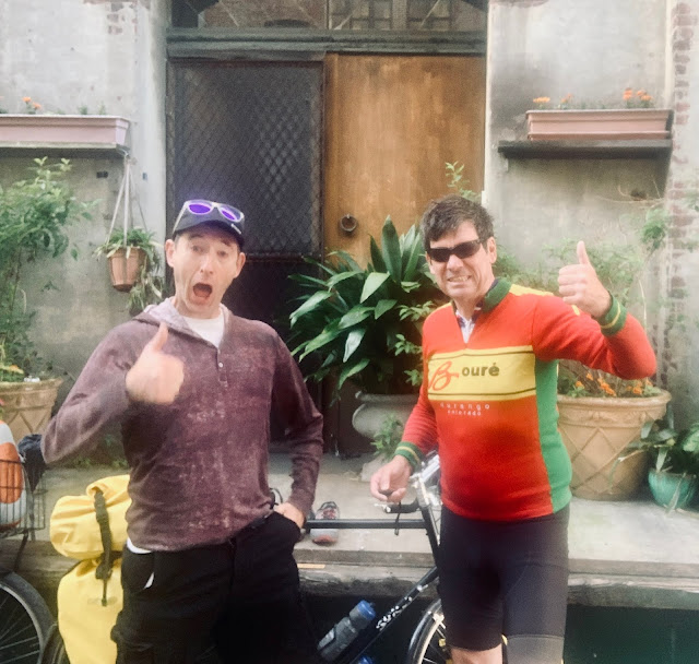
Linda was sporting her brand new yellow Ortlieb panniers and an STP Seattle to Portland Ride Jersey in the hotel parking lot. She was frustrated that she couldn’t find her bike computer. Henry was decked out in a blue outfit, just like last year. He was wearing brand new cycling shoes. We rode over to the Snake River to get back onto the ACA route. The waterway here was wide open like a lake, and I spotted sailboats and a dock. US Highway 12 had a nice shoulder. There was a huge lumber operation across the river with thousands of trees lined up like matchsticks in addition to mountains of wood chips. Henry set a nice pace. The river was to my right. It was bright and sunny with cool air. I was wearing my bike shorts and jersey. Seven miles out of town a female jogger came running towards me on the shoulder.
How would I describe the sublime beauty here? It was radically different from the forest three days ago. The wide open expanses were breathtaking. I enjoyed bald grassy muscular ridges etched with horizontal rock bands. The highway split away from the river and the long climb began. Henry set the pace and I rode sweep. Sage brush was once again growing to the side of the road. As I climbed up onto the ridge I passed a fruit orchard in a valley to the left. The tops of the ridges were yellow grass and scrub. Clarkston had an elevation of 800 feet and I was climbing 2000 feet to the top of Alpowa ridge.
I was following Alpowa creek, which was completely dry. It was a desert environment here, and the wheat cultivation required very little precipitation. The long climb left me drenched with sweat. There was a truck lane on the uphill, which gave me clearance from the motor traffic, which was sparse. I spotted a radio tower on top of the hill ahead and figured I was getting close to the top. The wheat growing on the ridge looked like it was ready for harvest. A giant orange sign appeared announcing a steep downgrade ahead. “Trucks check brakes. Rest area in a quarter mile”. Woo hoo! The climb was almost done. We documented the summit and took a break at the rest area. We were now ready for the downhill.
The town of Pataha welcomed me with a giant metal dinosaur and a shark. Apart from an antiques store there didn’t appear to be any services. The next town was Pomeroy, population 1425. I passed a giant grain elevator complex. There was a nice downtown area with a handsome courthouse, but I couldn’t find a place to eat. I settled on a PDQ gas station, which had a malfunctioning door bell that wouldn’t stop ringing. I was hungry and the choices were slim. I got an egg sandwich from the food warmer and a red Gatorade. The attendant was British, and she had clearly had enough with the incessant bell ringing. ”Bly me!”, she shouted. She had worked at the PDQ for twelve years. Before that she was a dental assistant in Lewiston. I ate my breakfast at a table next to the fishing lures. Henry, Linda, and I were at different sets of tables facing one another. We had been performing the COVID dance and were effectively social distancing. On my way out of town I passed Umatilla National Forest Ranger Station. I was riding through the arid Pataha Valley, surrounded by ginormous bald ridges covered with grass and wheat. Harvesting machines could be seen on one of the hills in the distance. I came around a bend and saw a vast wind farm ahead.
There was a pretty strong headwind for a moment, but the air currents were pretty decent for most of the ride. The wheat grew right up to the side of the road. Henry got a flat tire, so we pulled over for the repair. A staple had landed in his tire, and it was a routine fix. I then entered Columbia County. Coming into Delaney I passed a sign that said “Severe Crosswind Ahead”. Aside from an old grain elevator, there wasn’t much to the town. All of the services had closed long ago. I crossed the Tucannon River, and had another two thousand foot climb to get to my destination in Dayton. It was getting hot. Fortunately there was another truck passing lane climbing up the ridge. It was brutally hot, and at one point we stopped for a break. Henry and Linda had run out of water so I gave them my third bottle.
I finally got to the top. There was a slight downhill and then another bump, before descending into Dayton. I’d never seen so much wheat in my life. Outside of town I spotted the “Welcome to Dayton” sign. The town had a population of 2,526. There was a large grain elevator complex and I passed the Seneca Foods Corporation. We stopped at a PDQ Station where we guzzled Gatorade and filled our water bottles. Along East Main Street hung banners with photos of the 2020 graduating high school seniors. Columbia County Courthouse was an impressive structure. We went to Jacob’s Public House at the Weinard Hotel. I ordered an Ice Harbor Tangerine Hefeweizen and pulled-pork tacos. Afterwards we took a tour of the beautiful old hotel.
The RV park in town was ghetto, and there wasn't any shade. The proprietor suggested that we ride a mile and a half west of town to the state park. We weren’t sure if he was thinking in car miles or bike miles. It ended up being four and a half bike miles. Along the way I spotted a giant figure drawn with rocks on the side of a ridge. It was the Hillside Jolly Green Giant. There was an information plaque and viewing area. Workers from a Green Giant asparagus canning plant had created it back in the 70's. Further down the valley we came to Lewis & Clark Trail State Park, which was brimming with campers. We set up our tents in the primitive site, in between two large piles of wood chips, and a piece of plywood covering a round pit.
I bathed in the Touche River, which was pronounced Too•She. I found a pool that went up to my chest, and it was so refreshing! The river was tree lined with shade, yet I could spot the high arid ridges in the distance. It was an exhilarating end to the day! After our river baths, we rode back into town for dinner. I noticed many “No Trail” signs along the highway. There were plans to create a Dayton-Waitsburg rail trail, which would be a fantastic draw for the area and an economic engine. We had patronized several local businesses because Dayton was on a cyclist route.
For dinner we went to Fiesta En Jalisco for Mexican food. I had the Wizard IPA from Yakima Brewery along with chile relleno with chicken enchiladas. After dinner I stopped at a grocery store for beer and chips. We rode back to the campground at dusk, and noticed that the Green Giant had lights. Henry nearly got clipped by a deer charging across the road at full speed.
Back at the camp, I sat at the picnic table working on this report. I was getting behind on the blog. It was tricky to write while touring with others. That said, I loved having the company. I was able to spot the comet before I went to bed. The stars were brilliant.


Comments
Post a Comment