Covid Cross Day #36 Moore, MT to Great Falls, MT
Covid Cross Day #36


July 9, 2020
Moore, MT to Great Falls, MT 97 Miles
Start 7:10 AM Finish 5:39 PM
Ride Time 8:27
Ascent 2404 Feet
Descent 3277 Feet
Tour Total 3049 Miles
Details at: https://cyclemeter.com/3f1ef27914a4c684/Cycle-20200709-0710-88732I slept well in my tent stealth camping behind some bushes on the other side of Montana Highway 200. There wasn’t much traffic during the night. Before I went to bed, I sat on an old retaining wall where a structure had once stood. I saw clusters of lights on the horizon to the west and to the south, as well as a few stars. There were no bugs and then it started to get cold. It was perfect sleeping weather and chilly when I got up this morning. My fly was completely soaked from condensation. I hated rolling up a drenched tent, which I stuck underneath my rear bag. Who knew there would be so much condensation at 4,000 feet.
A mile down the road I noticed a horse and buggy sign. I didn't realize the Amish were in Montana. It was confusing having the wrong paper map in front of me so I stopped to fold it up. I was using the new Northern Tier digital map which wasn't really necessary because I was following Highway 200/US Highway 87 all the way to Great Falls. The ACA maps indicated where there were services, as well as geographical features and town populations. The moon hung in the morning sky.
The ACA Lewis and Clark route had been fifty miles longer than what I would be riding today. Had I gone that course, I would have had to break it up into two days. It cut north and then west to Fort Benton, and then finally south west down to Great Falls. I would now be missing Gigantic Warm Springs but 68°F water didn’t sound very warm or enticing. There was quite a bit of traffic on Highway 200/US Highway 87, and maybe that was the reason ACA directed cyclists away from this busy corridor. It was really chilly even with my sweater.
I came to Eddies Corner which had a gas station, general store, and cafe. There were even showers, which I considered. I went to the cafe section of the building where I observed social distancing for the first time in Montana. Masks weren't required, but stools had been removed and tables were blocked off. Plexiglass was hung in front of the cash register. These measures were probably due to the town's proximity to Great Falls. I ordered eggs over-easy, bacon, hash-browns, toast, and two orange juices. The hash-browns weren't very good, and I probably shouldn't have finished them.
It was still cold after breakfast, so I pulled over to don my rain jacket and leg-warmers. I crossed over into Judith Basin County. I passed to the south the tour's first snow fence, that ran for a good mile. My shoulder had an upper and lower level. There was a bump in between the levels and I had to pay attention. Rumble strips then entered into the mix. There wasn't much wind this morning and little was forecast today. High winds, however, were forecast for this area tomorrow. The shoulder got nice and wide at Ross Fork Creek Valley. Two more bee trucks passed me, and the snow fencing extended for miles. My body temperature rose climbing a long hill. I came to a nice flat section and crossed the Judith River. One difference that I’d noticed with the higher elevation was there was no longer any sage brush. The grassland seemed greener and more lush here. I saw wheat and cattle grass, and it seemed less barren than yesterday.
I crossed up over the railroad track that I had begun noticing yesterday. It cut north around the ridge while I went straight over the top. I was getting hot on the climbs. Back up on the ridge I could see 25 train cars lined up on the horizon. As I approached the town of Moccasin I could see the intersection with County Highway 301. There was snow on some of the mountain peaks to the west. For the moment, I was headed northwest. Around 9 o’clock I pulled over and removed my leg warmers and rain jacket. It was warming up, but I was still wearing my sweater. I rode into Moccasin and the train line was now to my right, as well as a large grain elevator complex. The small town was off to the left. I passed a big white tank where it was written, "Meth is a Dead End". There were many billboards in Montana concerned with methamphetamine abuse.
I saw a road sign saying that I was on the Lewis and Clark National Trail. I spotted a long strand of barbed wire in the middle of the shoulder, and swerved to avoid it. It was the second time I’d seen barbed wire in the shoulder. The mountains that I'd been enjoying to the west were called a Little Belt Mountains. Thank you Montana D0T for the information sign. I crossed Sage Creek which was odd because there wasn't any sage growing here. I passed the junction of State Highway 541. The store looked like it had been closed for a long time. At 10 o’clock I pulled over to remove my sweater and put on sunscreen. I realized then that I had a small tail wind. I could see the water tower in Stanford from the top of ridge.
I pulled into Historic Stanford where a sign recommended that I see the Legendary White Wolf Head at Basin Trading Post. A flashing roadside sign said "Wash your hands! Avoid COVID-19". I stopped at the Sinclair station for a red Gatorade. On my way out of town, a wind sock to my left confirmed what I had already discovered. The wind was out of the east today. Before riding up onto the next ridge, I passed a large roadside gate capable of shutting down the highway in case of a snowstorm. A large eagle flew over me as I was climbing up the ridge. The highway had a passing lane on my side for motor vehicles. From the top of the ridge I could see that the road stretched out for miles ahead of me. I flew down into the valley and then climbed up over the next ridge. The grades here in the west were so much more reasonable than back east.
As I approached the town of Geyser I spotted hundreds of cows to the south. Straight ahead to the north was another mountain range, and I noticed a wind farm up on a ridge. I stopped and read a historical plaque about the economic moment when Montana agriculture surpassed mining. Long story short, the railroad companies needed freight to fill their empty cars headed back east, and the government was giving away free land. People were encouraged to farm and ranch here to serve the higher powers.
I passed the 3000 mile mark on my odometer. The tour was now three-quarters finished. I met a motorcyclist pulled over on the side of the road with his flashers blinking. He had a flat tire and there was no cell phone service out here. I told him that I would call the highway patrol as soon as I had service. A group of Harley riders were driving by and I tried to flag them down, but they didn’t stop. Motorcyclists don’t have the strong community that bicyclists have. A mile down the road I was able to call 911. They gave me the number for the Montana Highway Patrol, which I called. In Raynesford I pulled over and talked to an auto mechanic, thinking that he could help. He didn't want to be bothered. I was now two miles west of the stranded motorcyclist. I hope that he eventually received help.
I was in a valley that I believed would lead me to Great Falls. I noticed Otter Creek, a fast moving mountain stream with a blue-green color, and not the muddy-brown water that I'd been seeing since Pennsylvania. I entered Cascade County. There was a weight station and rest area at Armington Junction, at the intersection of US Highway 89. Here the ACA route took me off of Highway 200 and onto the Belt Scenic Bypass. The two-lane road seemed like it was probably the old highway. It wound through a gorgeous valley with beautiful brown rock formations. I enjoyed being away from the traffic, and having the road completely to myself. The Otter Creek had become the Belt Creek, which was much wider and faster moving. The stream was now to my left.
I entered the small town of Belt and stopped at the Belt Creek Brewery, where I ordered a Charlie Russell Red from Harvest Moon brewing Company in Belt Montana. It was good, and I later regretted not ordering two. I actually rode by the brewery on my way out of town. The sun was blazing as I climbed back up the hill to Highway 200. It was a nice scenic detour. When I reconnected with Highway 200, I was no longer in the river valley. Once again, there were long snow fences to the south of the highway. I reached the top of the ridge and could see for miles in every direction. The Belt Mountains were now behind me, as well as a large weather formation that I didn’t need to worry about. Highway 200 was now four lanes of traffic with a passing lane in the center. I had a nice ten-foot wide shoulder. There were a number of mountain ranges on the horizon to the west.
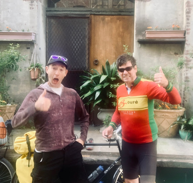
Ahead on the shoulder I noticed a car pulled over and I thought that maybe they needed help. As it turns out, they had stopped specifically for me. Katie and Rafael were traveling from Washington DC. They were cyclists and had bikes in the back of their rental car. They handed me an ice-cold can of Jenny Lake lager, and asked about my tour. You gotta love those trail angels! Six miles out of Great Falls an asshole driving a tiny white sports car made a stupid U-turn and zipped by me at 120 miles an hour. I seriously hoped that he crashed into a telephone pole. Guys with adult-sized genitals don’t do things like that.
I entered Great Falls but the route took me on a zigzag away from Highway 200 to keep me away from the sprawl. I entered the Lewis and Clark Park and Interpretive Center, and pedaled down a nice bike trail along edge of the bluffs overlooking the Missouri River below. I spotted the incredible Black Eagle Falls up ahead. It was a deep valley cut into the high plains. There was a small island in the middle of the river with cascades to both sides. A dam and hydroelectric plant had been constructed above. In Stephen Ambrose's 'Undaunted Courage' I remember reading about how it took 31 days for Lewis and Clark to portage their equipment up and around the treacherous falls. It was magnificent to see the actual site, and mind-boggling to think that all this water would wind up in the Gulf of Mexico, 3,500 river miles away.
I rode into the historic center of town and stopped at Mighty Mo Brew Co where I ordered a couple of Smoke Jumper Scotch Ales and a Honey Sriracha Smokie Mac & Cheese. I then pedaled over to the retro O'Haire Motor Inn. I checked into room 127 and set up my tent and all of my camping equipment to dry. I showered, shaved, did laundry, and charged my devices. I cycled over to El Comedor Mexican Restaurant for dinner, where I had Puerco Ahumado (smoked pork) washed down with Negro Modelos and Margaritas.


cowboy rider! just way too cool! what a world we live in, huh?
ReplyDelete